Author: s.a.
Code: LIVIGU0218680


Author: s.a.
Code: LIVIGU0218680
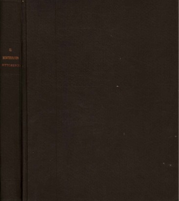
Strade ferrate e navigazione dell'Italia 1865
Features
Author: s.a.
Publisher: L. Ronchi editore
Place of printing: Milan
Year of publication: 1865
Product Condition:
Geographical map glued to canvas on the front, folded, divided into 20 sections. The specimen is in fair condition, with minimal foxing and signs of wear on the edges of the sections and on the external edges. It is contained in a case in poor condition, marbled, with abrasions on the edges; lower edge and part of the side edge unglued. Text in Italian language.
Pages: s.n.
Format: In folio
Dimensions (cm):
Height: 73
Width: 60
Description
From the Treccani Encyclopedia: "At the time of the proclamation of the Kingdom of Italy, in March 1861, there were approximately 1,900 km of railways in the territory of the new State, to which another 500 km were added in Veneto, Friuli, Trentino and Lazio. network had a great development after the Unification, both for the completion of railway lines already planned and started previously, and for the impetus given by national governments to the railway issue. In the first decade of unification the tracks doubled their extension
Product availability
Immediate availability
Ready for delivery within 2 working days from ordering the product.


Information
Offers & PromotionsWithdrawal Form
Terms and Conditions
Privacy Policy
Cookie Policy
Update your Cookie Policy Preferences
Select your area:
- |
Shop Information
Di Mano in Mano Soc. Coop.
Register of Cooperative Companies at No. A114664
Contact us Now
Registered Office:
customercare@dimanoinmano.com
VAT Number: IT12896370157
Believe in Us
General Conditions of Use and Sale. Online dispute resolution according to Art. 14 (1) Regulation on consumer ODR.
European Commission provides a platform for online dispute resolutions (ODR) which can be accessed under: https://ec.europa.eu/consumers/odr/
We Ship With: